
One flight. Every anomaly. Precise location.
Drone-mounted thermal imagers survey entire rooftops, solar fields, and transmission corridors in a single pass — coverage no handheld imager can match, delivered with geo-referenced accuracy.


Infrastructure too large for ground-level reach
Rooftop Thermal Surveys
Flat and pitched roofs mapped for moisture ingress, membrane failure, and insulation voids — full coverage in a single flight, no scaffolding required.
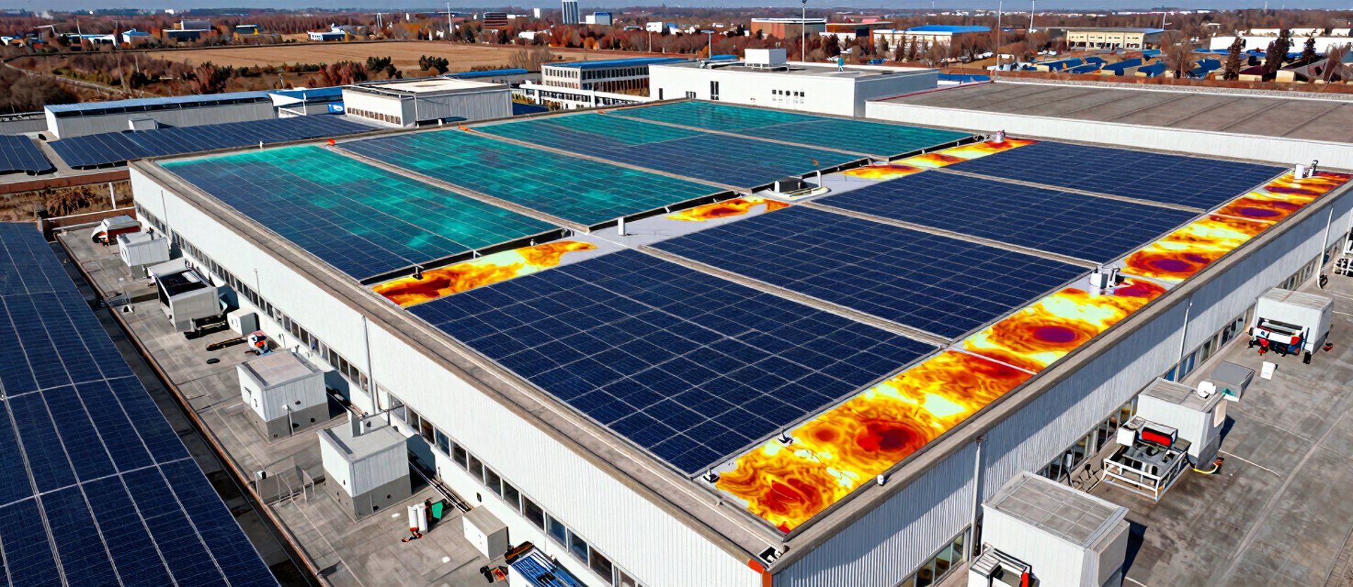
Solar Array Inspection
Individual panel faults, bypass diode failures, and string-level thermal gradients identified across arrays of any scale, with anomaly location tied to panel coordinates.
Transmission Corridor Mapping
High-voltage lines, towers, and substations scanned from safe standoff distance. Thermal anomalies flagged by GPS position for maintenance crew dispatch.

Every anomaly. Exact coordinates. One report.
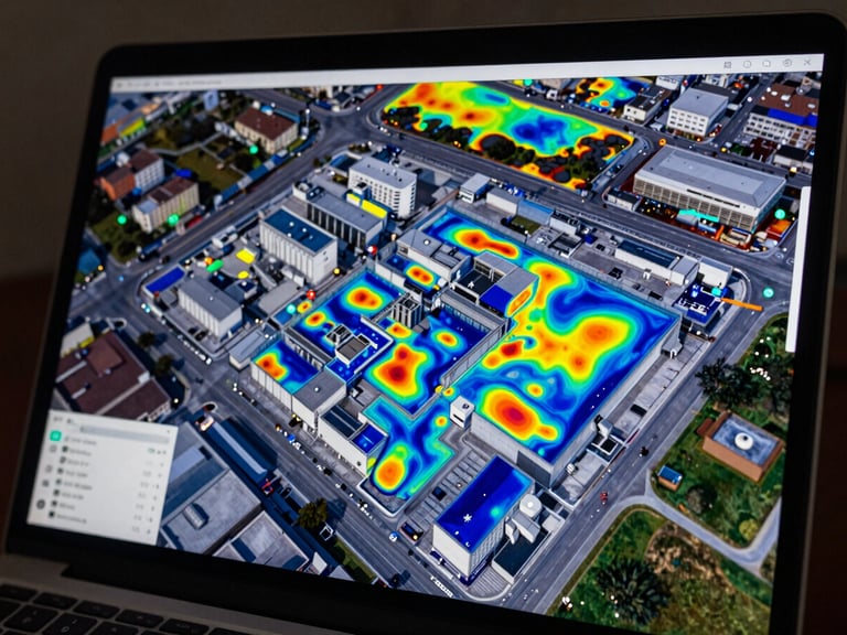
Geo-referenced thermal overlays tie each finding to a precise point on your facility plan. Drone data and ground-level handheld readings are consolidated — not filed separately.
Reports cite the thermal gradients measured, the imager certification level used, and the standard each finding is assessed against. Hard evidence, not interpretation alone.
Ready to map what ground inspection misses?
Tell us the asset type and site scale. We'll confirm flight feasibility, regulatory clearance requirements, and a survey date that works for your maintenance window.